China wholesale Over The Headrest Dvd Player - 9″ 10″ Android 1 Din Rotating Universal Car Screen – Gehang
China wholesale Over The Headrest Dvd Player - 9″ 10″ Android 1 Din Rotating Universal Car Screen – Gehang Detail:
Product Parameters

|
System |
Android |
DVR |
Support |
|
Processor |
4 core AC8227L 1.3 GHZ |
Video input |
Support 2 input channels |
|
Random-Access memory |
1G/2G/4G DDR |
Audio input |
AUX-L/AUX-R |
|
Read-Only Memory |
16G/32G/64G |
Video output |
Support |
|
Resolution |
768*1024/800*1280… |
USB socket |
USB1/USB2 |
|
Radio |
FM1/FM2/FM3/RDS |
USB extension |
2 TB hard drive |
|
Satellite Navigation |
Support GPS navigation |
Voltage |
12V |
|
Liquid crystal display |
Multi-touch |
Rate or work |
4*45W |
|
TFT driver chip |
AC8227L |
Frequency |
FM 76.0MHz-108.0MHz |
|
Power amplifier |
AC7315/AC7388 |
Working temperature |
-30~80°C |
|
Radio IC |
MT6625 |
The limit temperature |
-35~85°C |
|
Bluetooth |
MT6625 Bluetooth4.0 |
USB Type |
USB2.0 |
|
Video resolution |
1920*1080 |
Area |
All over the world |
|
WIFI |
Support |
Mobile Internet |
Supports Android and Apple |
|
Reversing image |
Support |
Steering wheel control |
Support |
|
Audio formats |
MP3/WMA/AAC/RM/FALC etc. |
||
|
Video formats |
MPEG-1/2/4/H264/H263/RMVB/DivX/Sorenson Spark/Spark/… |
||
|
Photo formats |
JPG/BMP/JEPG/PNG |
||
|
Audio output |
Front left, front right, rear left, rear right, subwoofer (5 channels) |
||
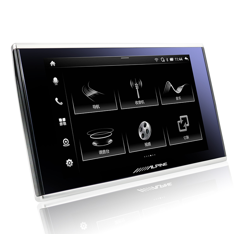
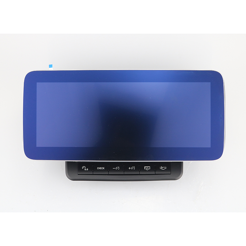
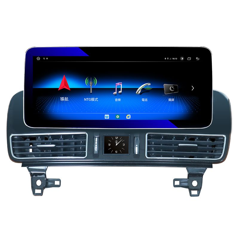
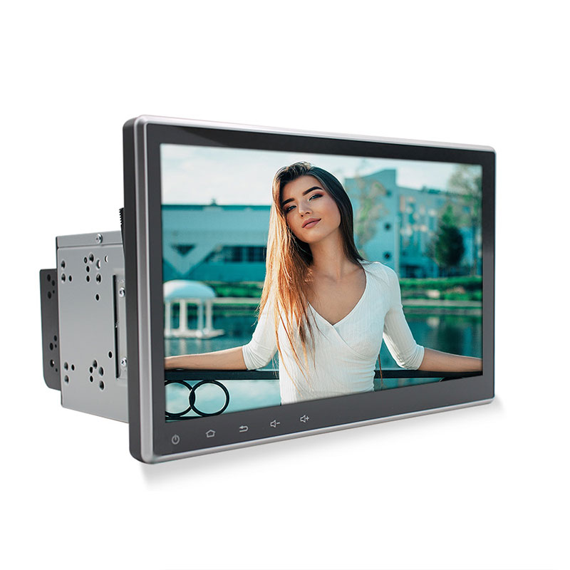
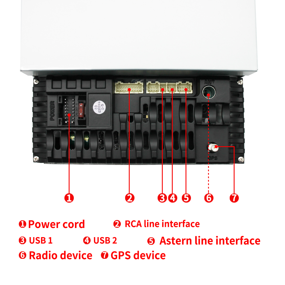
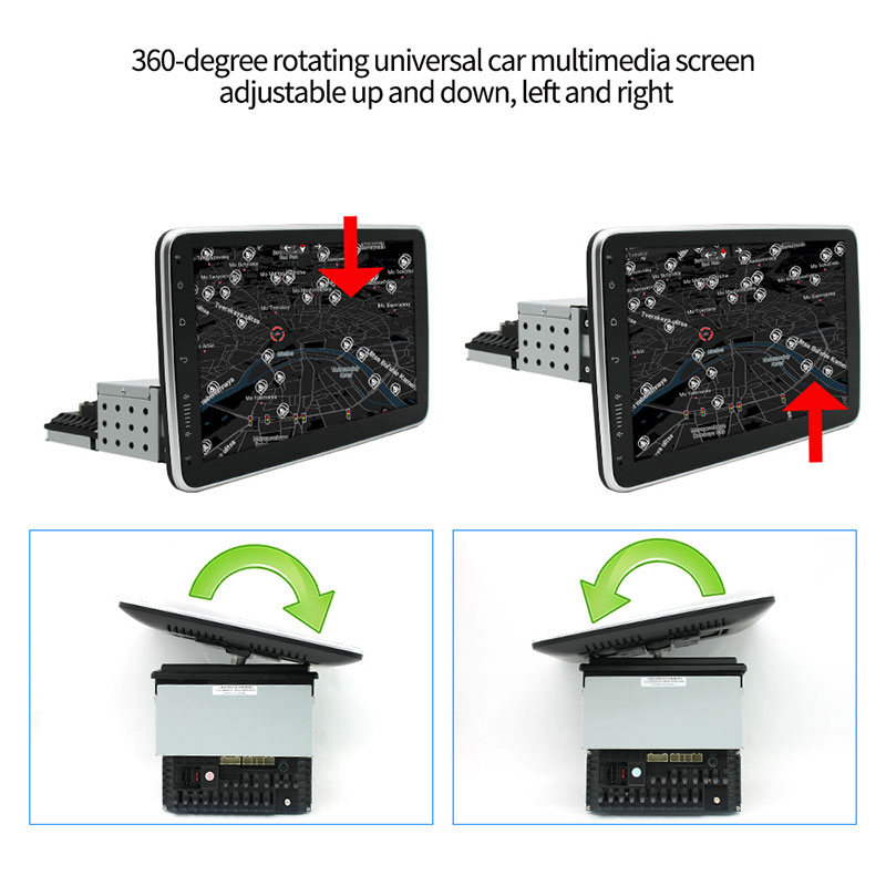
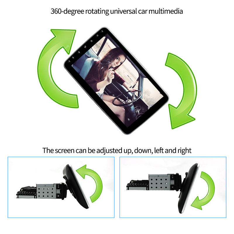
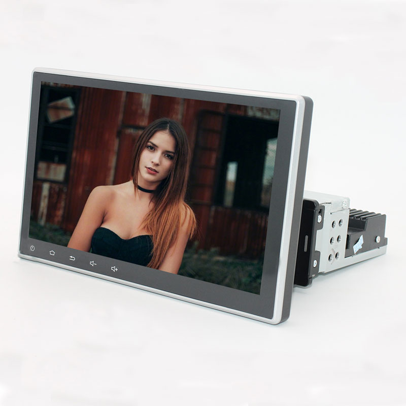
Product Display
What are the main functions of the car multimedia screen?
The car navigator is the on-board GPS navigation system. Its built-in GPS antenna will receive the data information transmitted by at least 3 of the 24 GPS satellites circling the earth. Combined with the electronic map stored in the on-board navigator, the azimuth coordinates determined by the GPS satellite signal match this to determine the accurate orientation of the car in the electronic map, which is the usual positioning function. On the basis of positioning, it can pass through the multi-function display to provide the driving road, the road condition in front and the nearest gas station, hotel, hotel and other information. If unfortunately the GPS signal is interrupted and you lose your way, don’t worry. GPS has recorded your driving path, and you can return according to the original path. Of course, these functions are inseparable from the map software that has been prepared in advance.
The switch of Car Navigator is usually the button of GPS. Some navigators are displayed in the form of menu. Just press GPS.
The main functions of the car navigation:
(1) Land use, mainly including vehicle navigation, emergency response, atmospheric physical observation, geophysical resource exploration, engineering survey, deformation monitoring, crustal movement monitoring, municipal planning control, etc.
(2) Marine use, including voyage route determination of ocean ships, real-time ship scheduling and navigation, marine rescue, marine treasure exploration, hydrogeological survey, marine platform positioning, sea level rise and fall monitoring, etc.
(3) Aerospace use, including aircraft navigation, aerial remote sensing attitude control, LEO satellite orbit determination, missile guidance, aviation rescue and manned spacecraft protection and detection.
Product Application
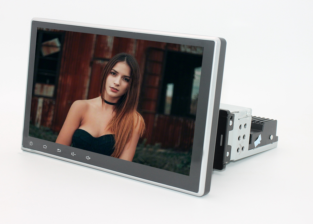
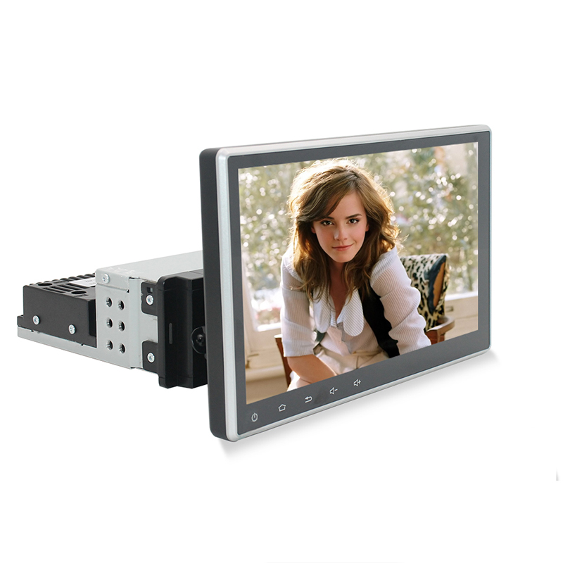
Product detail pictures:

Related Product Guide:
Our products are widely recognized and trusted by users and can meet continuously changing economic and social needs for China wholesale Over The Headrest Dvd Player - 9″ 10″ Android 1 Din Rotating Universal Car Screen – Gehang , The product will supply to all over the world, such as: Kuwait, Thailand, Liverpool, Besides strong technical strength, we also introduce advanced equipment for inspection and conduct strict management. All the staff of our company welcome friends both at home and abroad to come for visits and business on the basis of equality and mutual benefit. If you are interested in any of our items, please feel free to contact us for quotation and product details.
The factory can meet continuously developing economic and market needs, so that their products are widely recognized and trusted, and that's why we chose this company.